Humboldt Bay lies within its own basin that is bound on the north by the city of Arcata and the low-lying mountains of Fickle Hill Ridge, on the east by an arc of mountains surmounted by the hamlet of Kneeland, and on the south by Table Bluff and Tompkins Hill Ridge. This basin’s four major tributaries—all of which drain westward into the bay—include Jacoby Creek, Freshwater Creek, the Elk River, and southernmost Salmon Creek. Each of these tributaries extends many miles into the local coast range, and each features craggy and forested upper reaches, riparian shrub and pasture-lined middle reaches, as well as leveled and tidally influenced mouths. By the standards of most large estuarine systems, these tributaries add relatively small amounts of fresh water to the bay’s overall volume.
Until the early 1960s, the bay’s municipal water came mostly from within its own basin—including from Eureka’s Elk River and Arcata’s Jolly Giant Creek—but now it arrives from a different watershed just to the north. The isolated and attenuated Mad River basin travels 110 miles deep into Trinity County, terminating 84 miles upriver at a remote dam and reservoir called Ruth Lake. Like much of the rest of California, Humboldt Bay’s municipal water travels a significant distance and from a basin and county outside of its own. Unlike almost all of the rest of the state, however, Humboldt Bay typically gets all it needs, with plenty of water to spare.
The Humboldt Bay Municipal Water District serves seven municipalities from its operations on the Mad River just east of Arcata. The district deploys four Ranney Collectors—towering wells that can pump up to 20 million gallons a day from a constantly recharging riverbed aquifer. The water is then delivered to a hilltop complex where it is chlorinated and (in the winter months) clarified by a remarkably engineered structure—the Lloyd L. Hecathorn Turbidity Reduction Facility. Within this facility, minute silica particles are clumped together with an alum/polymer agent, and then the water is poured through anthracite filters that line huge rectilinear tanks. Every four days, each filter gets backwashed by vigorously bubbling computer-controlled jets, creating a tea-colored concoction that is then poured into a chain of evaporation ponds, where it eventually hardens into layers the consistency of fine-grained cement.
Once purified, the water flows mostly by gravity to tanks and reservoirs and then onward to municipal customers. Two sets of water mains turn west near the city of Arcata to make their trip down the Samoa peninsula to the hamlet of Fairhaven, where one of the pipes dips underneath the bay’s ship channel and heads towards Eureka, making landfall again at the foot of Truesdale Street. Other pipes travel northward to McKinleyville, eastward to Blue Lake, and southward again to Eureka alongside Highway 101. Though nearly all of these water mains are buried underground, they occasionally emerge from their subterranean realms to hop over natural waterways like the Freshwater Slough (just east of Eureka) and the Mad River Slough (near the town of Manila).
In addition to its stately Ranney Collectors, the Humboldt Bay Municipal Water District also operates a riverside surface diversion facility for collecting raw water for industrial use, and upwards of 60 million gallons a day of this water once flowed to the bay’s now-defunct pulp mills. (To get some perspective on these former mills’ consumptive capacity, the city of Eureka uses only about 3 million gallons in a typical day.) This extra water now simply flows to the sea, and its unencumbered freedom makes it out of compliance with California water law. A beneficial consumptive use for it will need to be found within the next decade or the rights to it will be taken away.
Individual municipalities are largely responsible for collecting, treating, and ultimately releasing everyone’s water back into the environment once its been used. The city of Arcata’s renowned wastewater treatment plant deploys both conventional and highly innovative systems to create effluent that meets secondary and tertiary standards for release into the bay. After a trip through a screen and a primary clarifier to remove suspended solids, Arcata’s wastewater is then guided through a carefully calibrated maze of oxidation ponds, treatment marshes, and enhancement marshes to biologically cleanse the effluent of organic material, excess nutrients, and pathogens before final disinfection and a brief trip though a truncated outfall pipe at the mouth of Butcher’s Slough. Arcata’s system is remarkable on many levels: not only does it obviate the need for the far more energy intensive methods commonly found in conventional wastewater treatment plants, but it also, of course, creates a spectacular and critically important 300-plus acre refuge for wildlife as well as a beloved community park.
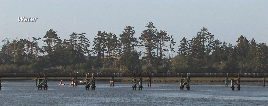
Eureka’s Elk River Wastewater Treatment Plant at the end of Hilfiker Lane uses a more standard system, with a set of primary and secondary clarifiers, as well as a pair of domed aerobic trickling filters, within which the primary effluent is sprayed over a matrix of biological slime that metabolizes the water’s waste products. The secondary effluent that results is then chlorinated and held in a 6-million gallon pond before dechlorination and discharge into the bay’s main ship channel through a 4000-foot outfall with the outgoing tide. Similar to Arcata, Eureka’s captured solids are anaerobically digested in cylindrical tanks before composting in sludge lagoons and spreading onto local cow pastures.
These wastewater plants are not without ongoing issues, however, and will need adjustments and upgrades to maintain the state and Federal water quality standards set for the bay—standards first established by the Clean Water Act of 1972. Another concern includes the bay’s storm water runoff—those spontaneous and unwelcome micro-tributaries that emerge where urban development and significant rainfall collide. Municipal storm water mandates and guidelines, though certainly helpful, cannot entirely control this point source and non-point source pollution—toxics that include the myriad chemicals and petroleum products of modern-day living, as well as bacteria from septic systems, ranches, and others that poop near the bay.
The bay’s natural tributaries have modern-day contingencies to deal with as well. Industrial logging commenced in these watersheds as early as the 1850s, and before the railroads were built deep into their reaches, these waterways were put to haphazard use as conduits for log transport downstream to mills. Networks of roads were built after the rails, and this legacy has resulted in plenty of erosion and turbidity—particularly for the Elk River and for Freshwater Creek, both of which are currently listed as sediment-impaired under the Clean Water Act. Suspended sediment in water poses significant obstacles for wildlife—particularly for anadromous fish (like salmon and steelhead) that need unmuddied gravel to in order to spawn. Sediment can also depress oxygen levels and increase temperatures in waterways, as well as making them too shallow, too narrow, or too prone to flooding.
Jacoby Creek faces bacterial challenges from septic tanks and cow pastures, but it’s also actively creating its own little delta—a popular hangout for wildlife. Much of the watershed for Freshwater Creek is still managed for timber production, though one of its branches (Ryan Creek) has a brackish, low-gradient flow that’s ideal for salmon—especially the endangered Coho. The Elk River watershed has faced decades of logging and has many sediment problems, as well as bacterial and chemical runoff from adjacent pastures and residential zones. Almost all of the bay’s tributaries also face the unfortunate circumstance of flowing over loose, geologically unconsolidated soils, which can contribute to sedimentation.
All four of these tributaries have also been straightened, rerouted, and/or blocked over the course of more than a century—particularly the lowermost reaches of Salmon Creek, where fresh water once cut a labyrinth of channels that drained into a vast plain of salt marsh. Recent projects to restore the meanders, low gradient pools, and tidal connectivity of these long-lost marsh plains are now under way, though, and Salmon Creek’s estuary in the Humboldt Bay National Wildlife Refuge is a graceful and inspiring example of this. With its back hoe-carved oxbows and rhythmic, deliberate arrangements of large woody debris, this restoration site is comparable in ambition and scale to great works of Land Art like Robert Smithson’s Spiral Jetty or Mel Chin’s Revival Field. Its new two-way tide gates allow for ocean inundation and reduced water velocity to protect smaller fish. Its rhythmically positioned log structures alter the complex hydrology of its oxbows and pools, creating natural jets to keep sediment moving along. Within a year of the Salmon Creek project’s completion in 2011, as a result, more juvenile Coho salmon had returned to this refashioned estuary than in all previous sampling years combined.
